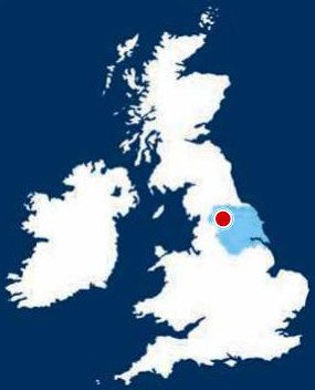
YORKSHIRE AND THE HUMBER
12. NORTH YORKSHIRE, GUISE CLIFF
Distance: 4.7 miles/6.9km | Time: 3 hours | Grade: Moderate | Total ascent: 248m
For more walks and days out visit countryfile.com
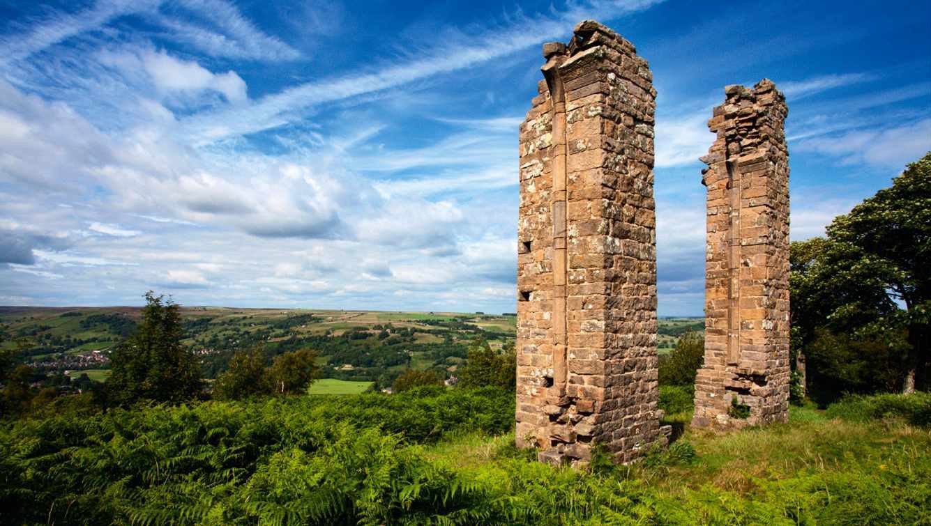
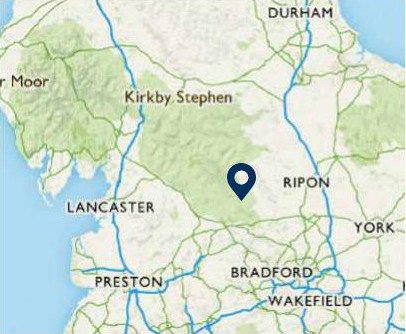
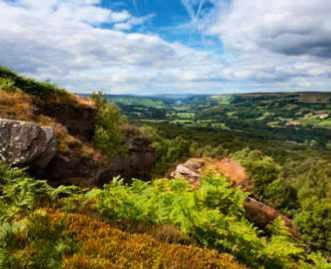
From the town of Pateley Bridge, sample a highlight of the Nidderdale Way. Explore Guisecliff Wood with its secluded tarn, and climb to the gritstone cliff for stunning views of Upper Nidderdale. Although outside the national park, this is every bit a Yorkshire dale.
1. START
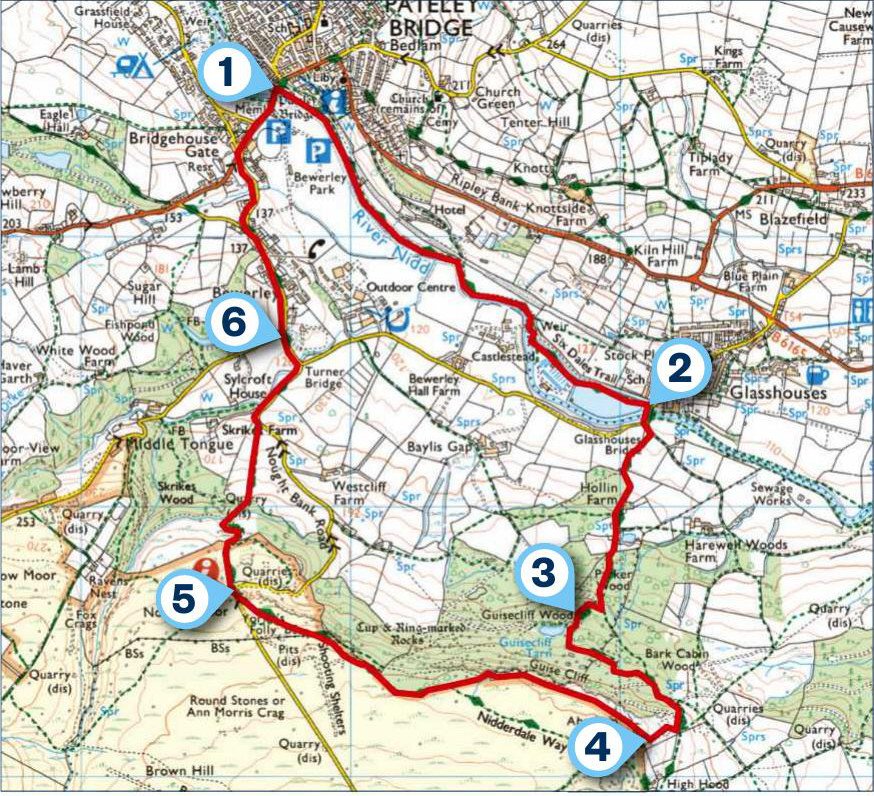
Start from the foot of High Street in Pateley Bridge and turn into Nidd Walk to join the Nidderdale Way. The path continues on below a car park beside the old railway station, then immediately joins the banks of the River Nidd.
Remain with the river until you reach a weir, where the path runs on between a mill race and mill pond to a lane on the edge of Glasshouses.
2. 1.2 MILES
Turn right to cross the River Nidd on Glasshouses Bridge. As the road swings right, turn left on a track then take the first right, still following Nidderdale Way signs. This track leads past Hollin Farm and Bobbin Mill Cottage until it narrows to reach a stone-stepped stile into Parker Wood. Follow the main path up through trees, ignoring any lesser paths until you reach a junction. Turn briefly right then left, still with the Nidderdale Way, until you reach the shore of Guisecliff Tarn.
3. 1.8 MILES
Continue climbing beyond the tarn, then swing left with the main path on a largely level course through the woods to emerge from trees. Take the right-hand path at a fork and continue climbing as the path winds to the right and climbs more steeply through bracken.
4. 2.3 MILES
Before the telecoms mast on Abraham Crags, take the right fork climbing below the mast. At the top corner, climb a stile and follow a permissive path along the top of Guise Cliff, keeping the drystone wall to the left. A stile takes you outside the trees and on to the edge of heather moorland with the drystone wall now on your right; follow the path beside it until you reach a gate. Go through it to arrive at Yorke’s Folly.
Follow the path away from the folly, descending to reach a bend in the road on Nought Moor.
5. 3.4 MILES
Cross straight over the road and go through a gate. Follow the Nidderdale Way down through heather, bracken, rowan and silver birch, with views across Pateley Bridge to Upper Nidderdale. The path enters Skrikes Wood, dropping through trees to a stile into a large field. Walk down the field to a stile, rejoining Nought Bank Road. Follow the road with care and turn left over Fosse Gill on Turner Bridge to follow the road through Bewerley.
6. 4.1 MILES
As the road forks on the edge of Bewerley, head right, taking the footway above the livestock market to reach the B6265 at Bridgehouse Gate. Cross the road and turn right to re-enter Pateley Bridge.
USEFUL INFO
Starting point
Start the walk at Pateley Bridge (HG3 5NA), served by the No. 24 bus from Harrogate and with a large car park in Nidd Walk. Other car parks are available at Southlands and just over the river bridge; all incur small charges.
Terrain
A mix of well-surfaced riverside path, then woodland and moorland paths that can be muddy in parts after heavy rain. The route follows significant sections of the Nidderdale Way, which is well signposted. Not suitable for pushchairs or wheelchairs.
Map
OS Explorer 298
Eat/drink
The Crown Inn in Pateley Bridge serves good food. crownpateley.co.uk
Talbot House tearoom is open 10.30am to 4pm. talbot-house.co.uk/tea-room/
In association with
