SCOTLAND
18. HIGHLAND, DUNCANSBY HEAD
Distance: 6 miles/9.6km | Time: 3-4 hours | Grade: Moderate | Total ascent: 165m
For more walks and days out visit countryfile.com


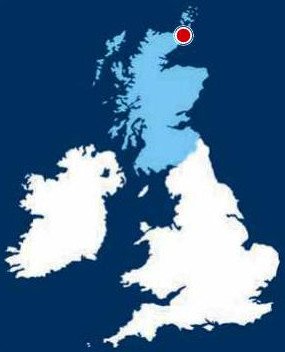
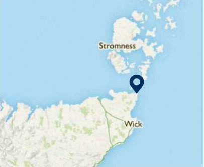
Although hundreds of visitors come to John o’Groats every year, very few venture out to the extreme north-east of mainland Scotland, Duncansby Head.
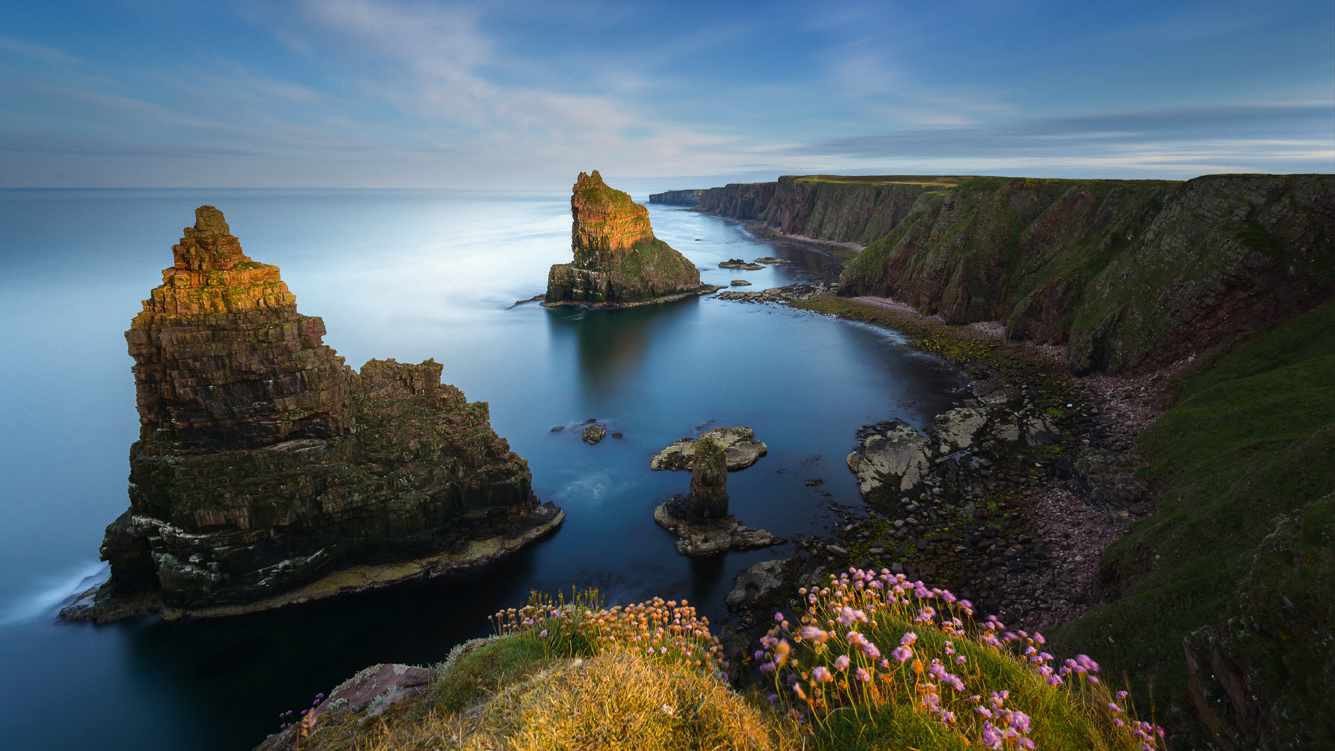
From the northerly village, an initially easy walk with views of the Pentland Firth leads by sandy bays before a dramatic cliff-lined section of coast is followed. The air is filled with the sounds of puffins, kittiwakes and other seabirds as the path looks out to the remarkable, pointed sea stacks of Duncansby.
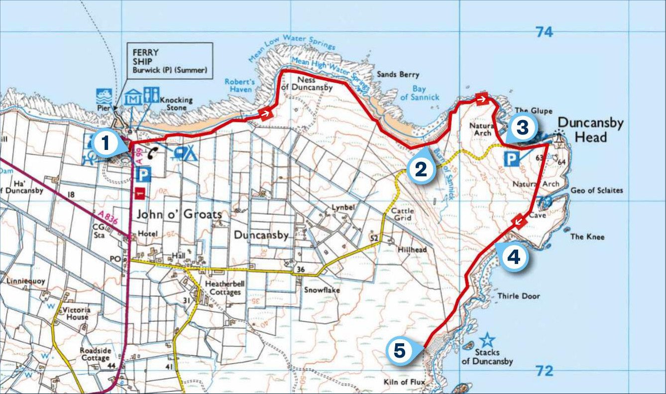
1. START
From John o’Groats car park, walk down to see the famous signpost before following the coast to the right. This is waymarked as the John o’Groats Trail, with octagonal markers and white paint, and extends to Inverness. With good weather and little cloud cover, you will be able to see the abandoned Island of Stroma, and, beyond, the southernmost Orkney islands.
The path leads easily by the shoreline to run by a bay. Then it veers left to reach the headland, the Ness of Duncansby.
2. 1.3 MILES
Cross a burn at the sandy Bay of Sannick before climbing steeply up a grassy slope. Stay well back from the cliff edge to walk by The Glupe, a natural arch. Next walk towards the minor road.

3. 1.9 MILES
Turn left on Duncansby Head Road to reach a sturdily built lighthouse designed by Robert Stevenson, the grandfather of author Robert Louis Stevenson.
This remote location is the most north-easterly point of the Scottish mainland. Views extend north over Orkney and west to John o’Groats and Dunnet Head. This latter headland, which also has a Stevenson-designed lighthouse, is mainland Scotland’s most northerly point by quite a margin over John o’Groats.
The onward path is signed from the adjacent car park, which is an alternative start point for a shorter walk. After a few minutes, you will be close to the Geo of Sclaites, heralded by the raucous sound of thousands of nesting seabirds. They are attracted to the vertiginous deep ‘geo’ or cleft in the old red sandstone cliffs; gannets, fulmars, skuas, razorbills, shags and puffins can be seen. The unusual name comes from the Norse word ‘gya’, meaning creek.
4. 2.6 MILES
The path descends to the lowest point on the coast before rising to a view of the Thirle Door sea arch and, further away, the stacks of Duncansby. It’s well worth continuing to get a closer look at these jagged pinnacles.
5. 3 MILES
The return follows the outward route back to John o’Groats.
USEFUL INFO
Starting point
John o’Groats Car Park, KW1 4YR. £3 per day. Stagecoach bus number 80 (Thurso/Scrabster- John o’Groats). Travelinescotland.com
Terrain
The waymarked route is mainly on grassy paths with some boggy parts. Take extreme care on the clifftop sections.
Map
OS Explorer 451
Eat/drink
Stacks Deli and Coffee House, Craft Centre at John o’ Groats, serves good wholesome food. stacksbistro.co.uk
In association with
