WEST MIDLANDS
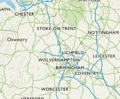
04 Cannock Chase, Staffordshire
Distance: 6.5 miles/10.5km | Time: 4 hours | Grade: Moderate | Total ascent: 159m
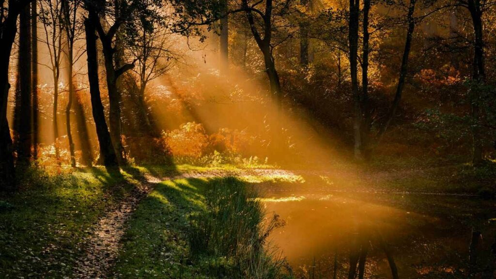
At 26 square miles, Cannock Chase is England’s smallest Area of Outstanding Natural Beauty (AONB). A former royal hunting forest, it has ancient woodland, conifer plantations and open heathland, supporting rare species such as nightjars and woodcocks.
Walk this 6.5-mile route in October and you may see male fallow deer crossing the Chase for the rut, while muntjac and red deer are sometimes spotted harvesting the rare Chase berry, a blueberry-cowberry hybrid. Search the skies for migrating redwings and scrutinise the Scots pines for crossbills.
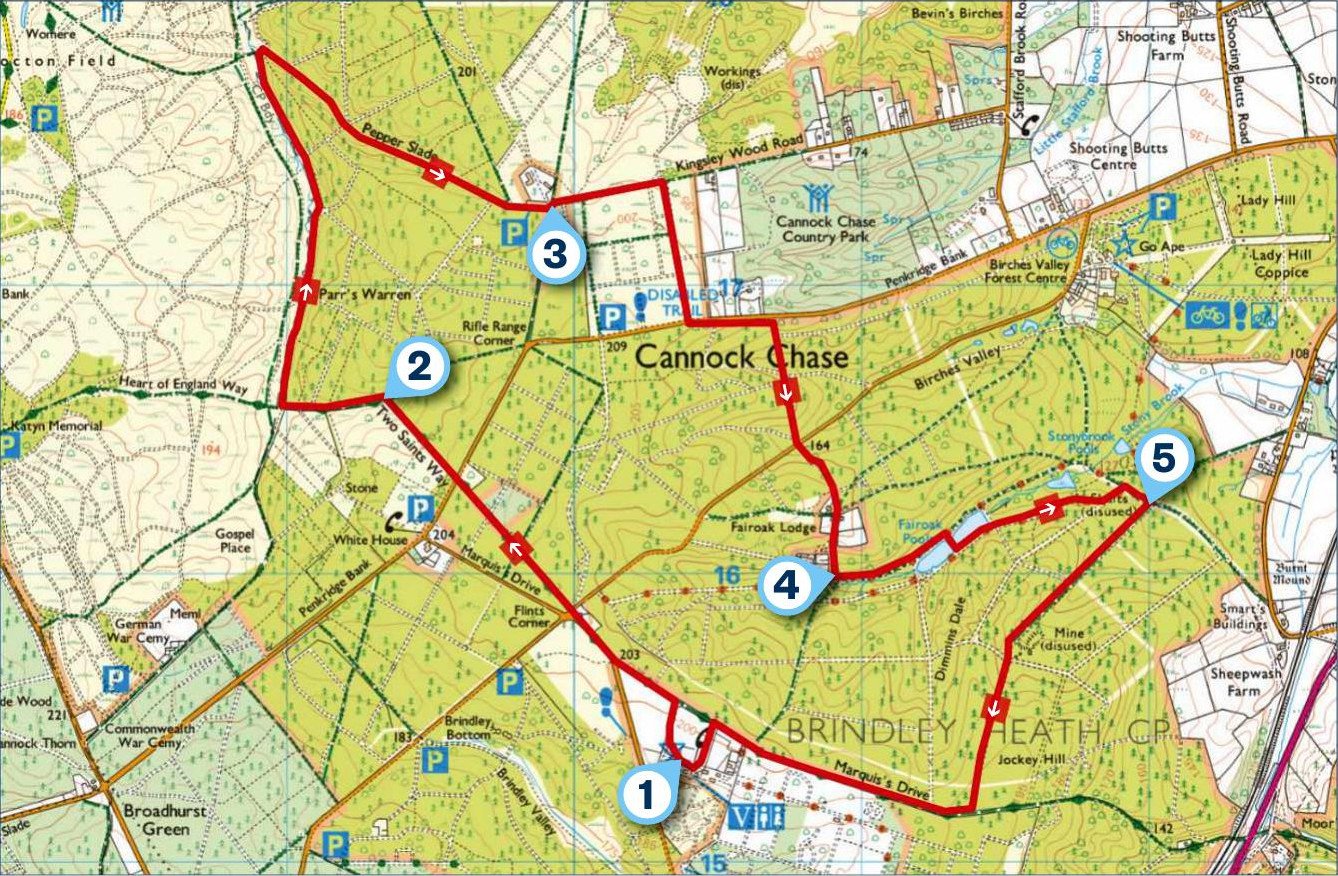
1) START
From the visitor centre car park, bear left of the centre and playground on to a road and turn right. Turn left along Marquis Drive. Continue along the road briefly, bear right beside a property then cross the road on to the path opposite. Continue through conifers, turning right at a junction, then left between silver birches. At the next junction, turn right, then left again through dense woodland to a road. Cross on to a bridleway and continue to a T-junction.
2) 1 MILE
Turn left, dropping through mixed woodland. Pass a metal kissing gate (left), then turn right at a crossing track. Drop gently between a conifer plantation and Sherbrook valley’s heathland, passing a pond (left). Keep a look out for deer and stoats. Ignore side tracks and descend to a junction. Turn right and climb through Pepper Slade to the parking area by the MOD rifle range.
3) 2.8 MILES
Continue ahead along a forest track to reach a barrier gate. Turn right and follow this to the road. Cross over to join a stone path. Turn left, running parallel to the road, then take the narrow signed bridleway on the right. Head into Birches Valley, crossing several tracks, eventually dropping towards a road. Cross on to the bridleway opposite. Climb towards Fairoak Lodge and Cottages. Pass between a garage and a property and, where the track bears right, continue ahead on a narrow waymarked bridleway. Drop to a junction.
4) 4.2 MILES
Turn left through a woodland valley, passing a picnic table and a pond (right). You may spot Canada geese, mallard and reed bunting. Turn right between ponds, then left. Walk to a junction, bear left over a bike trail, then turn right at a junction.
5) 5 MILES
Take the next bridleway (right) and ascend Jockey Hill to a T-junction. Turn right. Pass the old RAF Hednesford site and the ripening fruit in a community memorial orchard. Turn left at the zebra crossing to reach the visitor centre.
USEFUL INFO
Starting point
Cannock Chase Visitor Centre. Pay & Display parking at the visitor centre. Free parking along Marquis Drive.
Terrain
Wide, stone forest tracks, some narrow paths. One steep descent.
Map
OS Explorer 244
Eat/drink
There is a café at Cannock Chase Visitor Centre. Winter opening is 10am to 4pm on weekends.