SCOTLAND
17. HIGHLAND, STAC POLLAIDH
Distance: 2.8 miles/4.5km | Time: 2-4 hours | Grade: Challenging | Total ascent: 567m
For more walks and days out visit countryfile.com


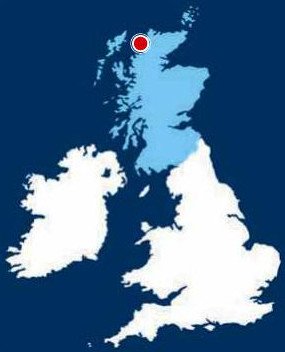
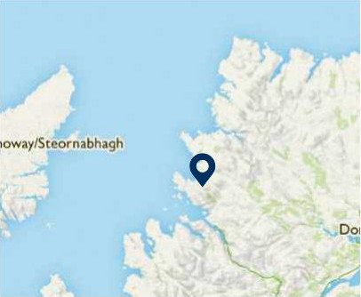
Lying a short drive beyond the Highland fishing village of Ullapool, the iconic hill of Stac Pollaidh rises above freshwater lochs amid carpets of bog cotton.
An ascent of this deeply weathered, craggy outcrop gives fabulous views over the wildly mountainous landscape. Many of geology’s founding theories were formulated from a study of this extraordinary area, which now sits within the North West Highlands Geopark.
This ascent of the eastern top of Stac Pollaidh takes two to four hours to complete. It does require a head for heights, though a circuit of the mount – still with fabulous views – can be completed without ascending the ridge.
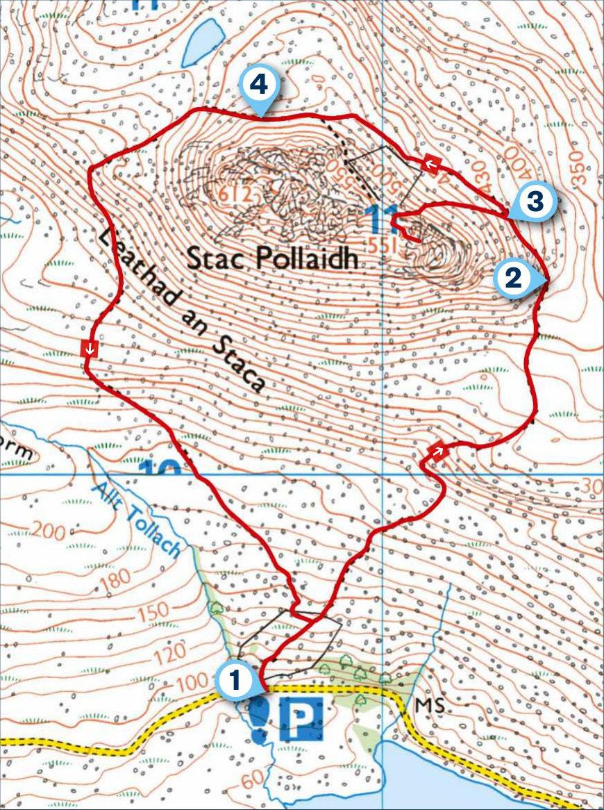
1. START
From the car park by Loch Lurgainn, cross the road and head north along a good path. This climbs through woodland, which can be plagued with midges. In spring and summer, you may hear the tuneful call of a cuckoo.
Walk on through moorland, ignoring a path on the left. Already there is a sense of the vastness of this area as the views open out across the loch.
2. 0.7 MILES
The path leads round to the northern side of Stac Pollaidh. The dramatic shape of Cul Mór draws the eye to the north-east. As you walk on, there are also distant views to the long, blocky profile of Suilven. Adders may be spotted sunning themselves, if the weather is kind.

3. 0.9 MILES
At a fork, the main path climbs to the left up towards the sandstone ridge atop Stac Pollaidh. Good boots and hillwalking experience are a must for the ascent.
On the multi-turreted ridge, there is a sense of loftiness as the steep ground falls away at your feet. The setting feels a lot higher than it actually is.
The views stretch for miles in all directions, with the Assynt mountains prominent to the north, the enormous bulk of Ben Mór Coigach to the south, and the Summer Isles in Loch Broom to the west.
The 612-metre-high summit lies to the west but this is not for walkers. Instead, follow the path to the eastern top. Confident, experienced hill-goers can make the final short scramble to the top. Return to the path at the bottom of the hill and go left.
4. 1.7 MILES
Although this path is considerably rougher, and passes through several boggy sections, it offers a circuit of Stac Pollaidh. And there are excellent views of the western end of the ridge. Enjoy walking by the base of the hill below its many pinnacles before rejoining the outward path above the road.
USEFUL INFO
Starting point
Stac Pollaidh Car Park, Ullapool IV26 2XY. Bus number 811 Ullapool-Achduart; travelinescotland.co.uk
Terrain
Steep mountain path with boggy sections.
Map
OS Explorer 439
Eat/drink/stay
The Ceilidh Place is a hotel, bunkhouse, restaurant, café, book shop, art gallery and music venue in Ullapool, known for its warm and welcoming atmosphere. 14 West Argyle Street, Ullapool. 01854 612 103; theceilidhplace.com
In association with
