NORTHERN IRELAND
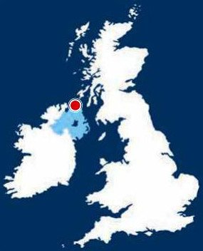
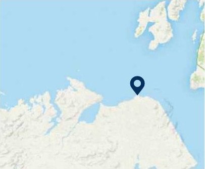
20. COUNTY ANTRIM, BENBANE HEAD
Distance: 4.3 miles/7km | Time: 3 hours | Grade: Moderate | Total ascent: 414m
For more walks and days out visit countryfile.com


Coastlines offer views every bit as impressive as high mountains, especially where lofty sea cliffs and wild headlands are involved.
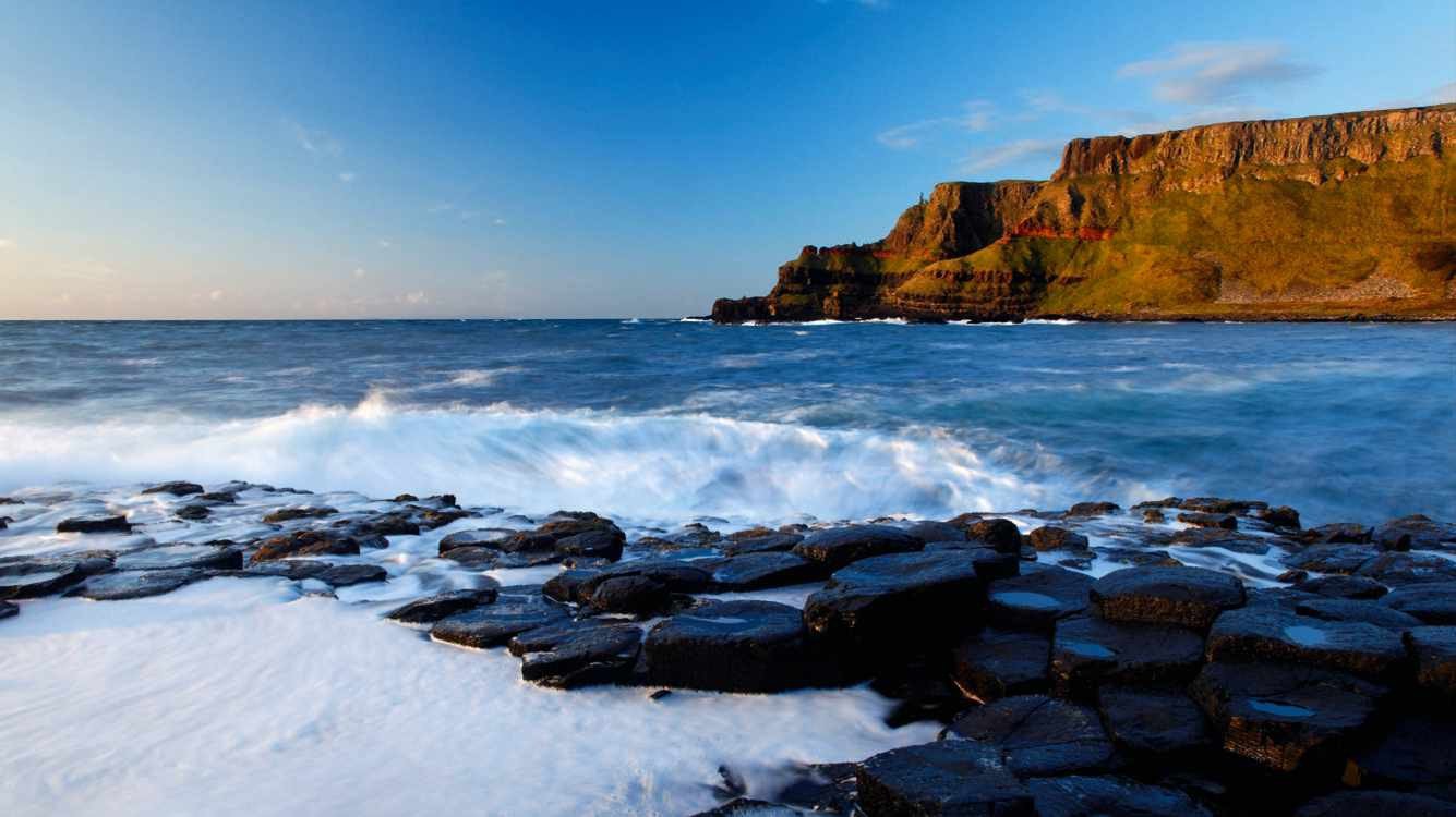
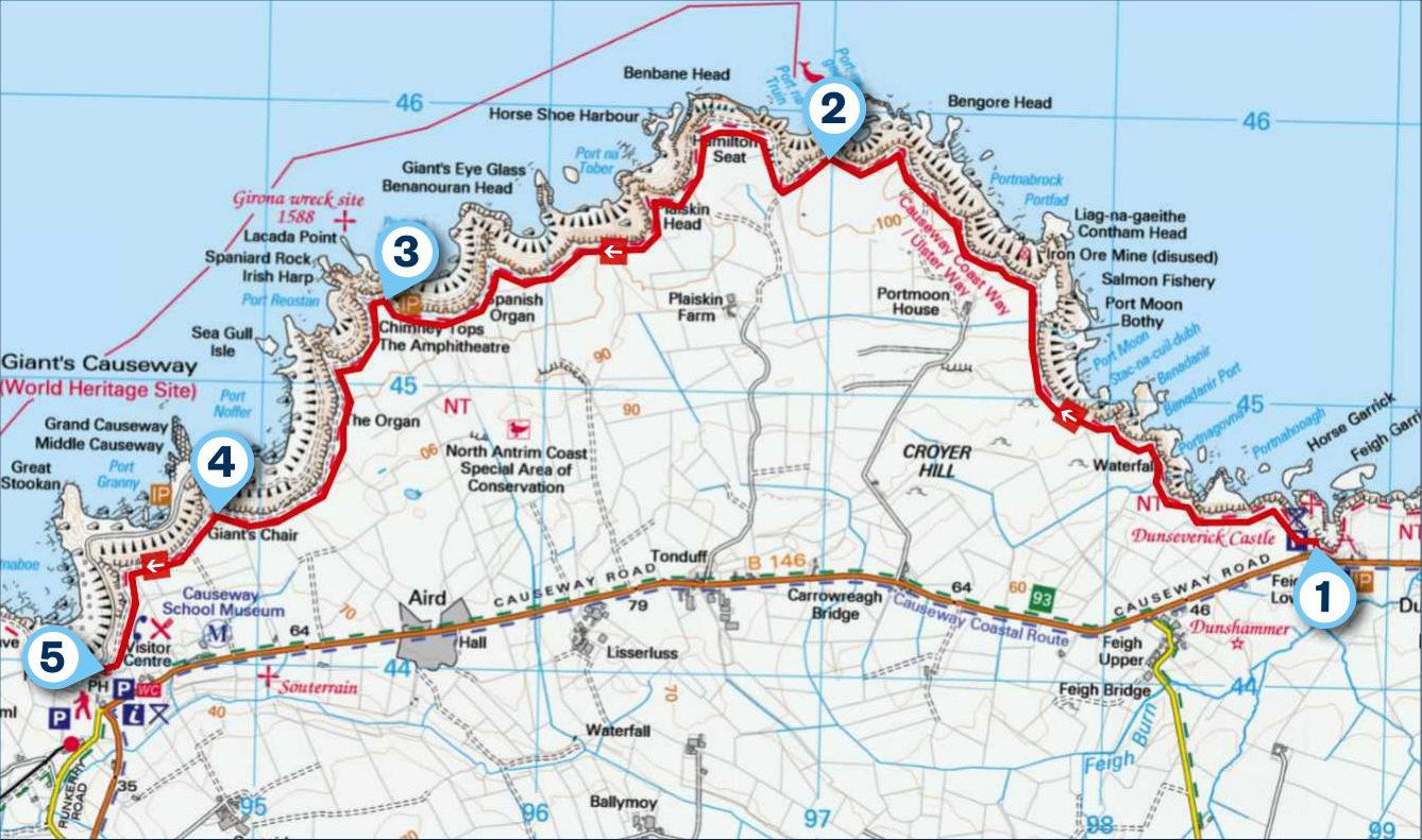
This five-mile walk is entirely off-road, following the famous North Antrim Cliff Path past a succession of chiselled bays and over cliff-lined headlands reaching 100m high. A linear route that starts at Dunseverick Castle, the striking coastal scenery continues all the way to the Giant’s Causeway, the UNESCO World Heritage Site at the end of the walk.
Despite its linear format, return transport is not a problem. The Ulsterbus Causeway Rambler service 402 runs frequently between the start and finish every day. Note that there is a charge for parking at Giant’s Causeway at the end.
1. START
The first landmark of the route is 16th-century Dunseverick Castle. Now just a promontory ruin, this was once a royal residence and the end of the High Kings Road that ran north from Tara. Explore the ruins before setting off west along the signed coastal path.
2. 1.7 MILES
The path is grassy underfoot as you skirt around farm fields, then climb on to wilder moorland around Benbane Head. This is the highest part of the route, where you trace the cliff-line some 100m above the ocean. The headland undulates past Hamilton’s Seat, where there are wonderful views west along rugged coastline to Giant’s Causeway, and north-east past Rathlin Island to Scotland’s Mull of Kintyre.

3. 3 MILES
The treacherous cliffs and fierce currents have left a deathly legacy along this coast, most notably at Port na Spaniagh. This bay is the final resting place of the Girona, the most famous ship of the ill-fated Spanish Armada, which sank here in 1588. Golden treasures retrieved from the wreck can be seen in Belfast’s Ulster Museum.
4 3.9 MILES
It is not long now before the unmistakable formations of Giant’s Causeway come into view below. If you don’t want to visit the site, continue along the cliff path to the visitor centre. Alternatively, descend the steep Shepherd’s Steps down the cliff to explore the basalt columns at the shore. Legend dictates that the Irish giant Finn McCool built the causeway as part of a bridge to Scotland. Scientists maintain the 40,000 hexagonal columns were created by cooling lava flows around 60 million years ago. To finish, follow the tarmac lane from the causeway to the visitor centre, at the top of the hill to the west.
5 4.3 MILES
Return on the path or catch the Ulsterbus Causeway Rambler back to the start.
USEFUL INFO
Starting point
Dunseverick Castle car park, off the A2 Bushmills to Ballycastle road.
Terrain
A signed but unsurfaced coastal path, with stiles and steps.
Map
OSNI Activity Map Causeway Coast and Rathlin Island
Eat/drink
End the walk at The Nook, a bistro pub serving lunches and dinners.
Stay
The Causeway Hotel, a historic clifftop building owned by the NT. nationaltrust.org.uk
In association with
