Treasure Hunt
A brilliant app can help the whole family engage with natural landscapes. Dave Hamilton investigates EarthCaches
On most normal days, I would despair of my kids being glued to a screen when visiting somewhere as beautiful as Lulworth. Today however, I am actively encouraging it.
Photos by Philip Hartley
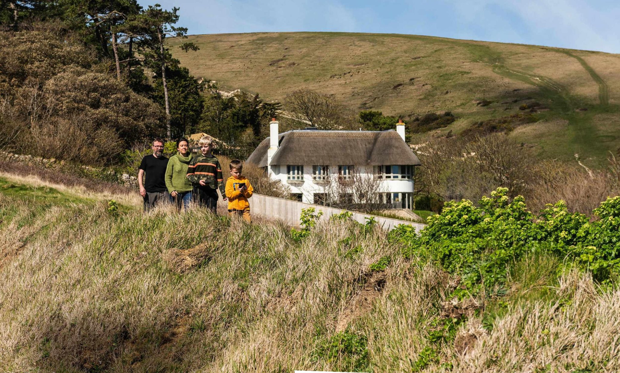
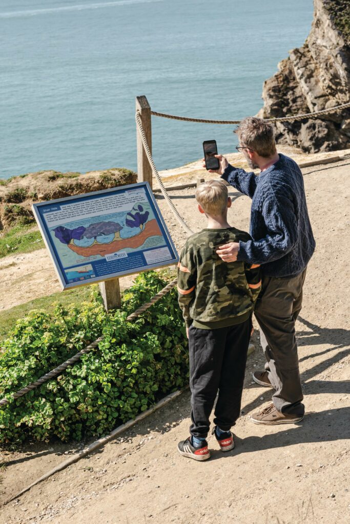
Smartphone in hand, my two boys followed the app up a hill to a grassy ledge where the 150-million-year-old rocks of Lulworth arch around a calm, sunlit shallow bay of water. For once, rather than standing in the way of an experience, technology was helping us engage with the landscape in a way we may not have without it. Normally more interested in Minecraft than the Mesozoic, they were fascinated by the different ages of rock circling the bay and what the world might have looked like when they were laid down.
My boys were taking part in a type of geocaching – a treasure hunt for the smartphone generation. Like letterboxing or orienteering, it involves navigating to a specific point but, rather than using maps or guide books, participants use a GPS device, normally a smartphone, to find a hidden ‘cache’ or container. Most geocaches have a piece of paper or small book inside to say who found it. Some also contain small trinkets (think cracker toys) to swap, but regardless of what is inside, the main object is always finding the cache itself.
The initial spark that founded the geocaching movement came from a computer scientist called Dave Ulmer. In May 2000, Dave hid a bin full of goodies in a woodland in Oregon and posted the coordinates online. Two people found the bin, prompting the online GPS community to hide more caches. A website was soon created to standardise and collate these caches and, thanks to a string of articles in the American national press, the following months and years saw geocaching steadily snowballing into a worldwide movement.
SIMPLE FUN
Although it uses complex technology, geocaching at its heart is remarkably simple. You download an app on to your phone, zoom in on your location and choose your nearest cache. The app will tell you how far away that cache is and in which direction; all you have to do is follow it.
It’s not just the simplicity of geocaching that has seen it expand from just 75 to three million geocaches worldwide – there is a real buzz in finding the cache itself. My six-year-old can barely contain himself when he finds one, and although his older brother can be 11 going on 16, he has downloaded the app himself and will search for them with his friends when we’re out with them.
Today, my kids are exploring a new kind of geocaching: EarthCaching.
WHAT IS EARTHCACHING?
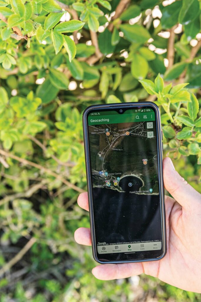
EarthCaching is a little different to geocaching, in that the app leads you to an area of geological importance rather than to a hidden cache. The app normally has a set of notes and accompanying questions, making the EarthCache a more educational experience than traditional caches.
With the use of technology, EarthCaching opens up the subject of geology to a much wider audience. It allows anybody with a smartphone to visit new and interesting places and gain a deeper understanding of the landscape around them.
The geocaching app also allows you to look at EarthCaches all over the world. In the UK, there are EarthCaches from Land’s End to John O’Groats and everywhere in between. With its striking and varied geology, the Dorset coast, especially the Isle of Purbeck, is the perfect place to start an EarthCaching adventure.
DORSET DAY OUT
I have spent many a summer on the Dorset coast and it has always been a special place for us as a family. We headed here shortly after the first lockdown when travel restrictions ended. I can still recall with vivid detail the look of sheer joy and freedom on the face of my youngest as, after months of being kept indoors, he sprinted for the sea. Like a Labrador puppy, coiled with excitement, he wanted to do exactly the same today. So I knew it would take a little persuasion to convince him to trade a paddle in the sea for a geology lesson.
“Despite being only six, and with no phone of his own, Lenny led us to the cache with relative ease”
My other half promised him an ice cream but the simple act of passing him my phone and asking him to navigate put him in the driving seat and engaged him in an instant. I think he secretly loved the idea of bossing his parents and older brother around.
The signal is terrible down at the shore but not so bad in the higher ground of the carpark, so I downloaded the map there before we set off. As EarthCaching is a premium service, I also paid the small monthly fee.
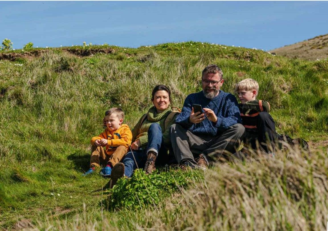
Despite being only six, and with no phone of his own, Lenny led us to the cache with relative ease. As you are not finding a physical object, the actual finding of the caches can be a little conceptual, especially for young children. EarthCaches are also quite text-based and for me, this is where they can fall down a little. Reading the text, it was more than apparent that my youngest’s attention was waning. I skimmed the text and tried the best I could to explain the formation of Lulworth Cove in my own words. Amazingly, it worked and we were all back on the same page.
WHY IS PURBECK SO SPECIAL?
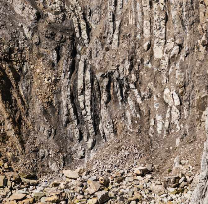
Coastal Dorset offers a unique window into the diverse complex geological record of the region. You will find vivid white chalk cliffs, crumbling sandstone and soft clays. The white-grey or Portland limestone rocks are also apparent here. Extensively quarried, these rocks may seem familiar, as they were used to construct significant buildings, such as Salisbury Cathedral and the Houses of Parliament. The chalk and limestone rocks of Purbeck were laid down during the Jurassic and Cretaceous periods, when dinosaurs such as the plated stegosaurus and the great plant-eating diplodocus still roamed the Earth. Back then, this region was covered in shallow tropical seas, much like the Maldives or the Cook Islands today. The conditions were just right for a rich fossil record across the region. So much so, that it’s easy to find huge ammonites in the rock face at Kimmeridge Bay and the large, round Sauropod footprints in Spyway Quarry, close to Langton Matravers.
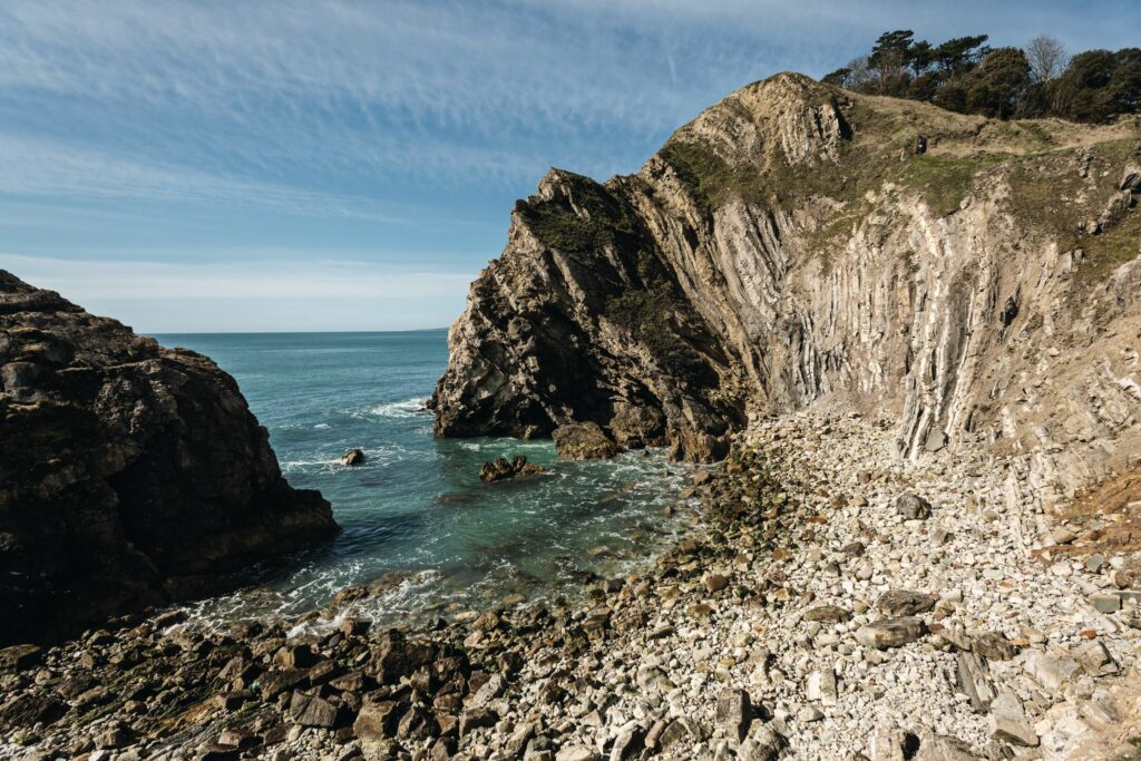
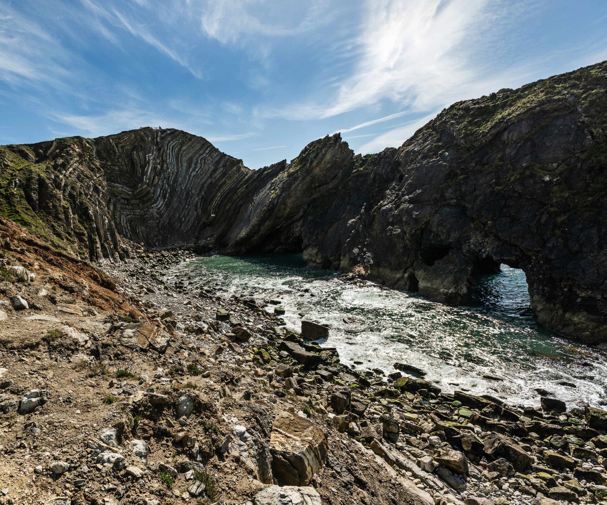
After logging Lulworth, we moved on to Stairhole, just up from the bay. The dramatic forces that formed these rocks are really on show here, with its arches and the natural tilt of the rock. The Lulworth Crumple, to the side of Stairhole, impressed us the most. The strata here, or bands of rock, have been pushed in to a horizontal position, the result of the collision of the continents of Europe and Africa. A friend of mine had told me that continents move at the same speed as their growing fingernails and my kids seemed to like the idea of a very slow-motion crash.
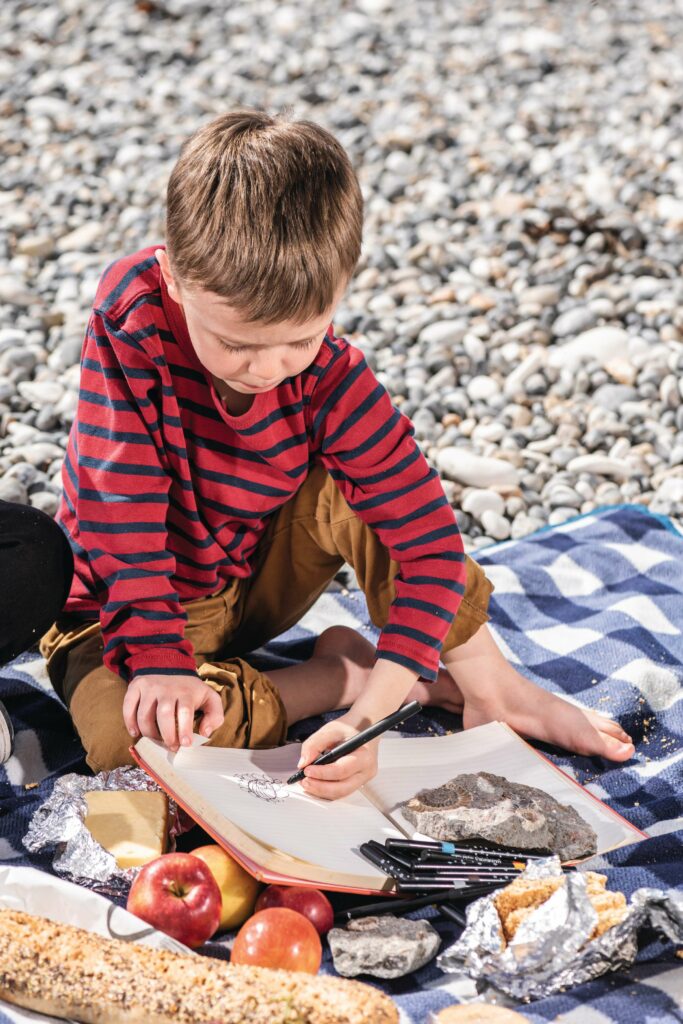
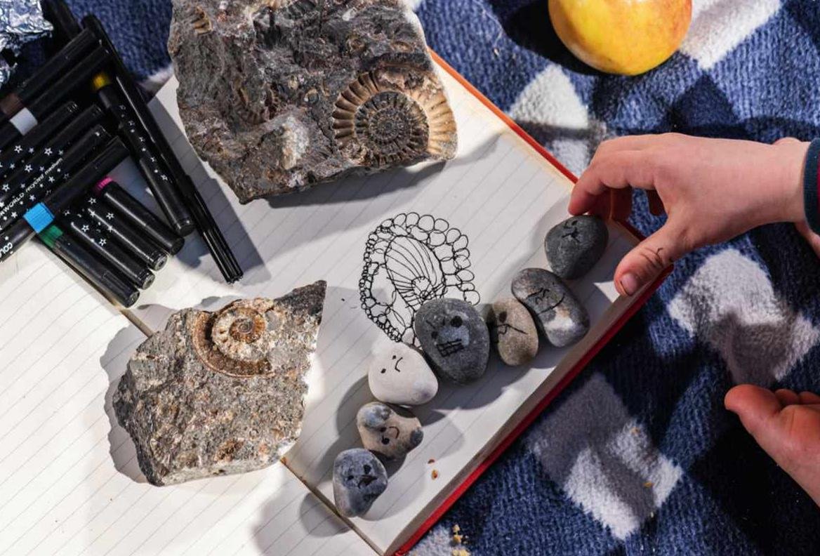
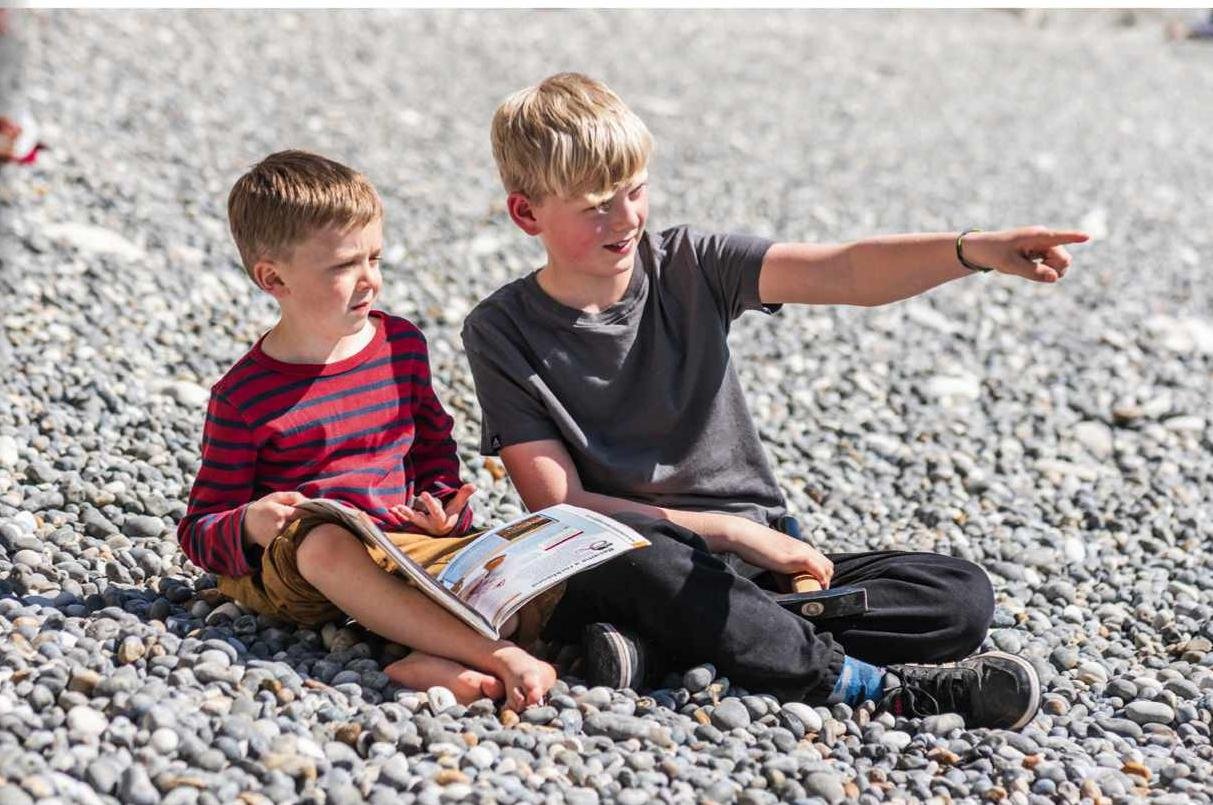
With a bit more of an understanding of the forces involved in forging the landscape around us, we stopped for a picnic on the beach. His geological interest piqued, Lenny sketched a fossilised ammonite we had found on a fossil hunt through Charmouth Visitor Centre. Once back at home, his older brother Douglas searched for more earthcaches and surprisingly, found one in our local woods. What treasures might you find on your doorstep?

Dave Hamilton is a horticulturist and explorer of lost places. He has written six books, including the Wild Ruins travel series. His latest book is the foraging guide, Where the Wild Things Grow.
SEVEN ROCK WONDERS OF PURBECK
Stair Hole and the Lulworth Crimple The petite coves and tide-eroded arches of Stairhole sit by alternating bands of shale and limestone, pushed into a horizontal position by colliding continents (see image page 48).
Lulworth Cove The unique geology of Lulworth Cove, where layers of soft and hard rock sit side by side, allowed the formation of this bay, with its shallow, crystal-clear water (pictured opposite).
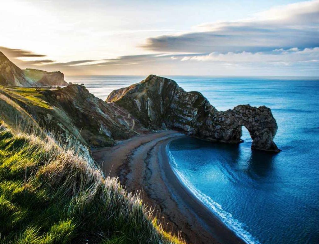
Durdle Door The natural limestone arch of Durdle Door stands at the end of a sandy beach in a clear-blue bay. Formed by sea erosion, it is popular with artists, hikers and swimmers alike.
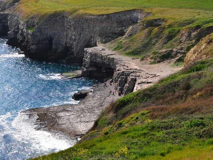
Dancing Ledge Dancing Ledge is a ballroom-sized natural shelf of rock formed by the steady erosion of the softer rock above it. It has a tidal pool perfect for young swimmers.
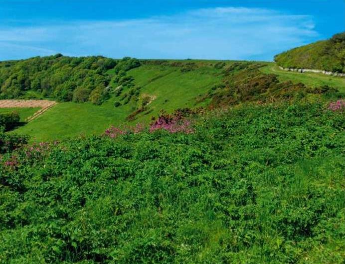
Purbeck Ridge Like the South Downs to their east, the Purbeck Ridge is a band of rolling chalk hills coated in diverse calciferous grassland, attracting rare wildflowers and butterflies such as the Adonis blue.
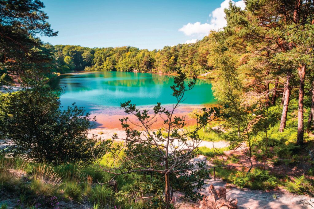
Blue Pool The diffraction of light off clay particles in the water of the Blue Pool gives this flooded clay pit a range of colours, from reds and greens to vivid turquoise.
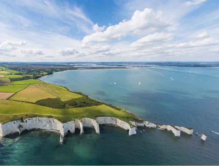
Old Harry Rocks Once part of a ridge leading all the way to the Needles on the Isle of White, Old Harry Rocks are a collection of iconic chalk stacks on the Jurassic Coast.