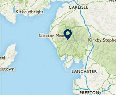
NORTH WEST
02 Scafell Pike, Cumbria
Distance: 5 miles/8km | Time: 4 hours | Grade: Challenging | Total ascent: 973m
In August 1802, Samuel Taylor Coleridge, searching for a way off the crag-bound summit of Scafell, inadvertently descended a route now called Broad Stand. Though it is probable that local shepherds earlier clambered over this weakness between the cliffs, the poet’s descent is the first recorded rock climb in the Lake District.
This is appropriate, because the accepted birth date of the sport occurred, after a further 80-year-plus gestation, on the mountains that define the amphitheatre of Wasdale Head.
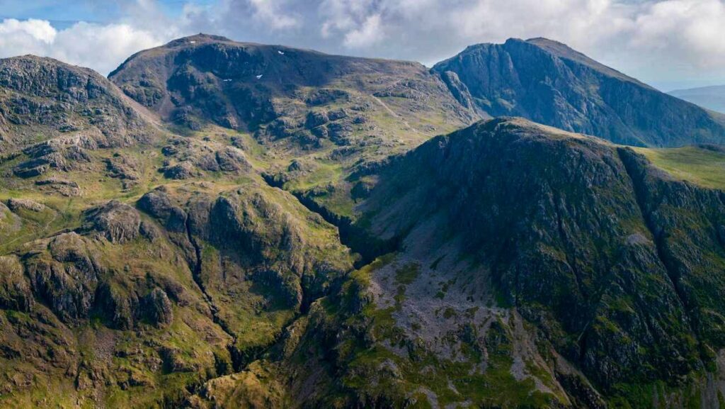
While Scafell is the more formidable peak, its twin, Scafell Pike, is the highest summit in England and is easier to climb.
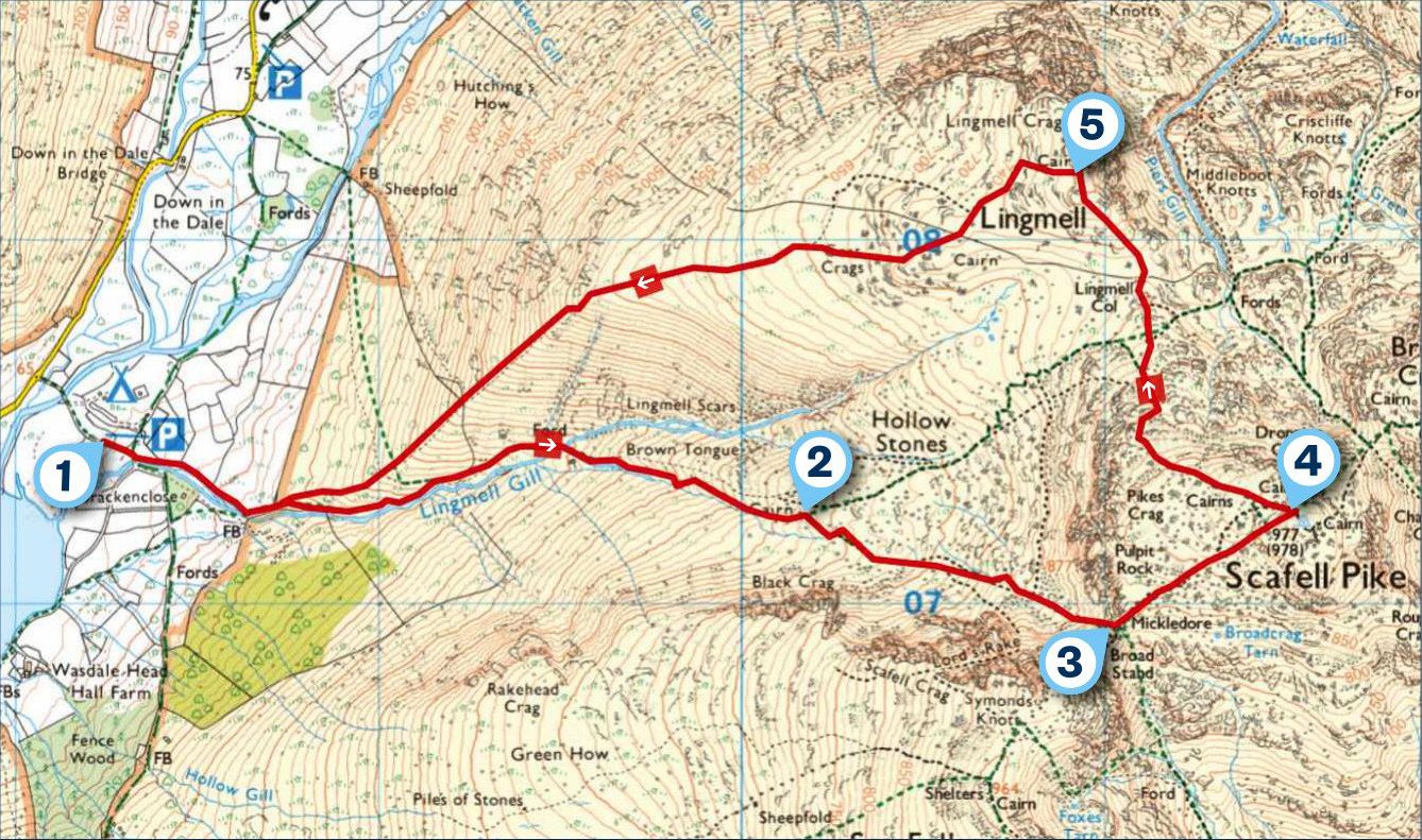
1 START
From the National Trust car park at Wasdale Head, take the footpath past Brackenclose mountain hut and along the north bank of the river. The track up Brown Tongue became worn over many years of heavy use and has now been repaired as part of the Fix the Fells project, undertaken by the National Park Authority and National Trust wardens and volunteers, at a cost of around £1,000 per metre. This leads to the boulder field of Hollow Stones, below the screes that fan down from Scafell Crag.
2 1.3 MILES
Tracks leading to Scafell Pike diverge from here. Carry on in the same direction beneath Scafell’s huge Central Buttress and ascend the rough and steepening track, the hardest part of the walk, to the obvious col of Mickledore, between the two peaks. To the right of the saddle is Broad Stand and, at its base, the narrow cleft of Fat Man’s Agony, which marks the conclusion of Coleridge’s climb.
3 1.9 MILES
Turn left and follow the rocky track past a mountain rescue box. At the fork, take the right path and carry on to the huge cairn at the summit of Scafell Pike. The summit is a broad plateau, so the view is panoramic rather than spectacular, but extends over almost all the high peaks of the Lake District.
4 2.3 MILES
Take a bearing of 300º from the summit, then curve to the right and descend to Lingmell Col. Rather than follow the direct route down to Hollow Stones, ascend north-west to reach the summit of Lingmell where the view becomes spectacular. From Wastwater, the Irish Sea and the Isle of Man, the view moves north to the peaks of the Mosedale Horseshoe, Scoat Fell, Pillar and Kirk Fell, then down the deep chasm of Piers Gill and across to a full-face view of the screes and crags of Great Gable.
5 3 MILES
A bearing of 250º takes you west down the flank of Lingmell to Brackenclose and back to the start.
USEFUL INFO
Starting point
National Trust pay-anddisplay car park, Wasdale Head. Early morning shuttle from Ravenglass, Gosforth and Nether Wasdale. Honesty box car park at foot of Yewbarrow. Last shuttle returns at 18.15 from Wasdale Head.
Terrain
Rough, rocky mountain tracks, steep in places, repaired with rock steps in lower reaches.
Map
OS Explorer OL6
Eat
Ritson’s bar at Wasdale Head Inn, one mile up the valley. wasdale.com