The sky chart for cosmology will help many other space fields too

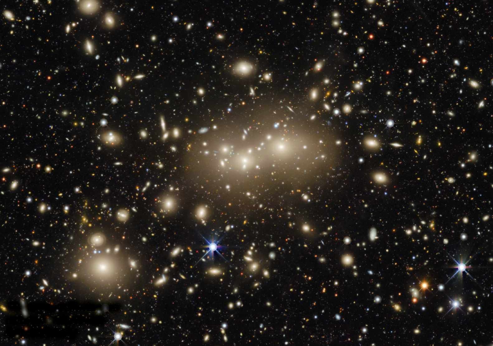
The largest 2D map of the sky ever produced has grown even larger, after the 10th data release of the DESI Legacy Imaging Survey expanded its view to more than 20,000 square degrees, almost half the sky, and introduced additional wavelength coverage.
The survey mapped the location of over one billion galaxies, with the hope of better understanding dark energy and dark matter. The new release – which is available to anyone who wants access – includes infrared information to calculate the redshift of distant galaxies. The additions make the map useful to a much wider range of astronomers.
“It is this ease of access which has made this survey so impactful,” says Arjun Dey at NOIRLab, the organisation that operates several of the telescopes involved with the survey. “We hope that in a few years, the Legacy Surveys will have the most complete map of the entire sky and provide a treasure trove for scientists well into the future.” noirlab.edu