The fundamentals of astronomy for beginners
EXPLAINER
How we know that Earth isn’t flat
Astronomers have known that Earth is a globe for thousands of years
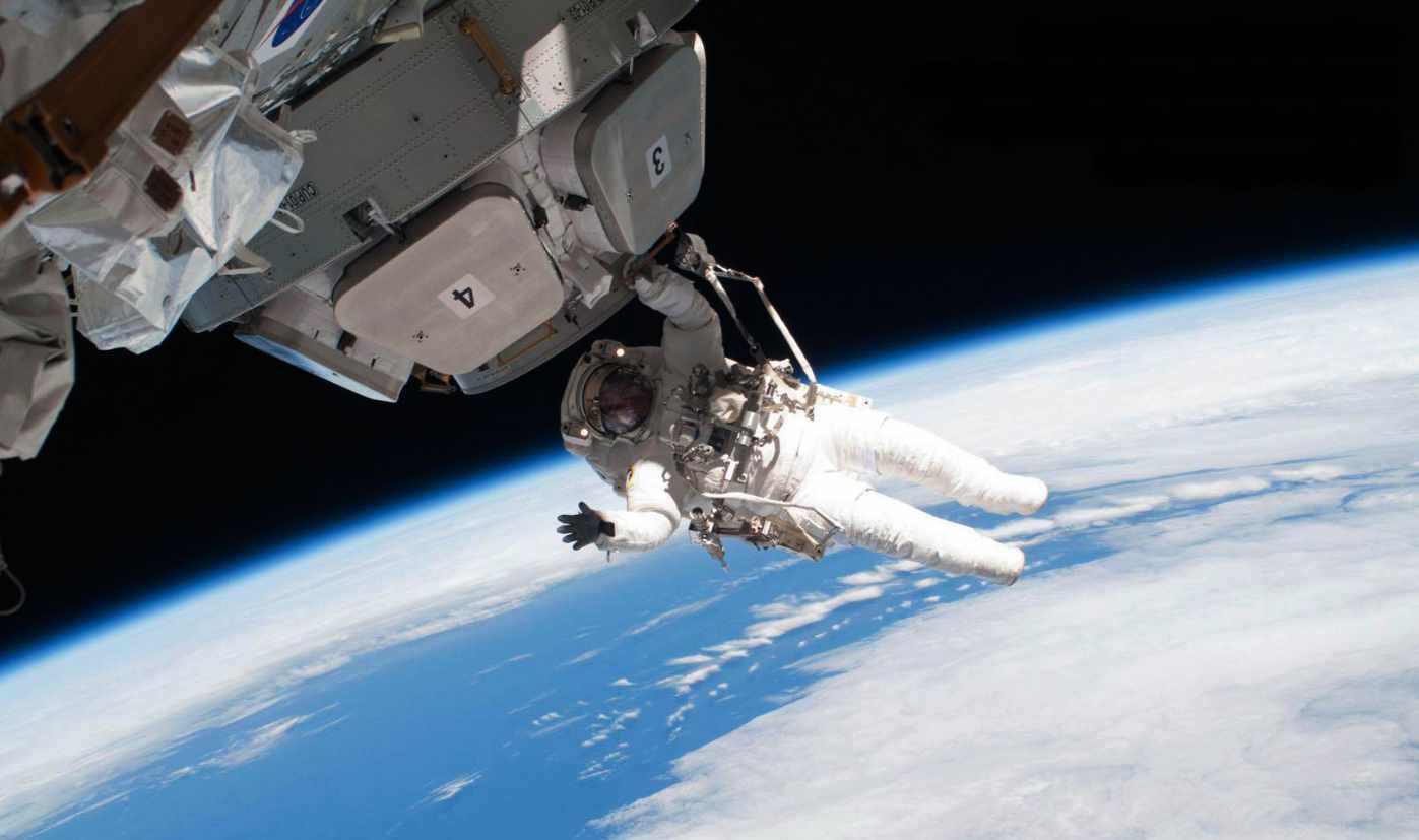
It’s a common line to hear: “Five hundred years ago, they thought that Earth was flat!” But it’s also completely untrue. Astronomers have been able to prove our planet is a globe for well over 2,000 years, using methods you can recreate at home.
The first known reference to a round Earth is in ancient Indian religious texts. The Rigveda, first composed between 1500 and 1000 BCE, includes the verse “In the midst of the Universe, the spherical Earth stays”. Unfortunately, though there is much evidence of ancient India’s extremely advanced knowledge of astronomy, there is little surviving record of their methods.
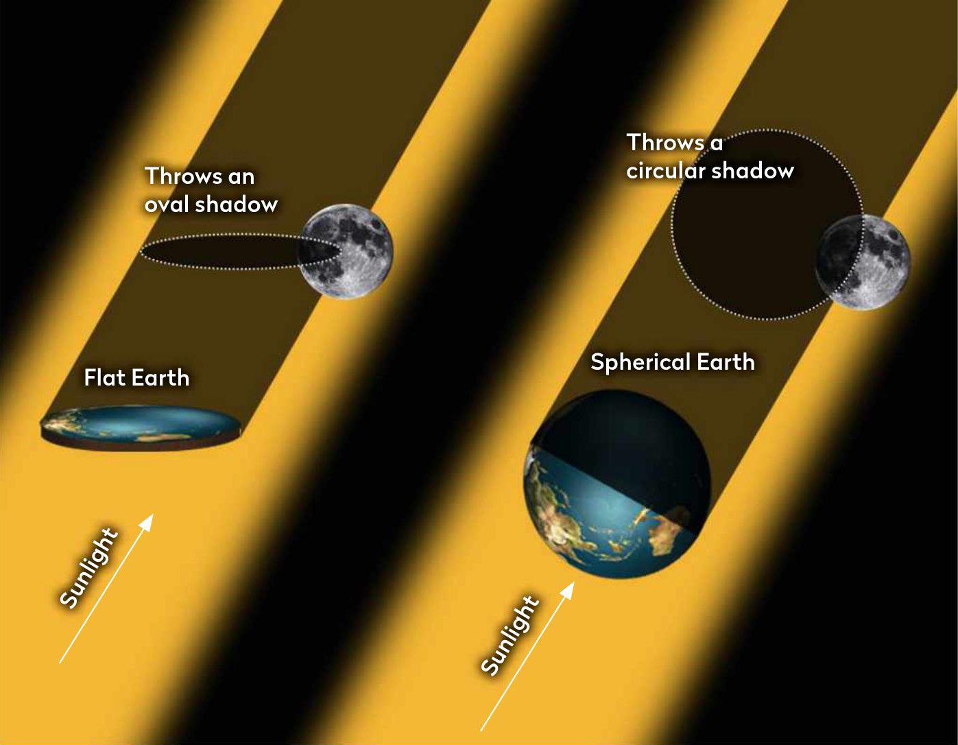
For that, we must turn to the Greek ‘natural philosophers’. The first written evidence that Earth was a globe comes from Empedocles and Anaxagoras in around 430 BCE, both of whom noticed Earth’s shadow appeared rounded during a lunar eclipse. You can look out for its curve yourself on 28 October, when the next lunar eclipse that’s visible in the UK is due.
In 350 BCE, Aristotle added even more evidence. He noted that when a ship sailed beyond the horizon, the masts would remain visible after the hull had disappeared, as you would expect if it had sailed around a curved edge. If you’re near a port you can do the same with modern ships, though you’ll need to look for their upper decks, rather than sails.
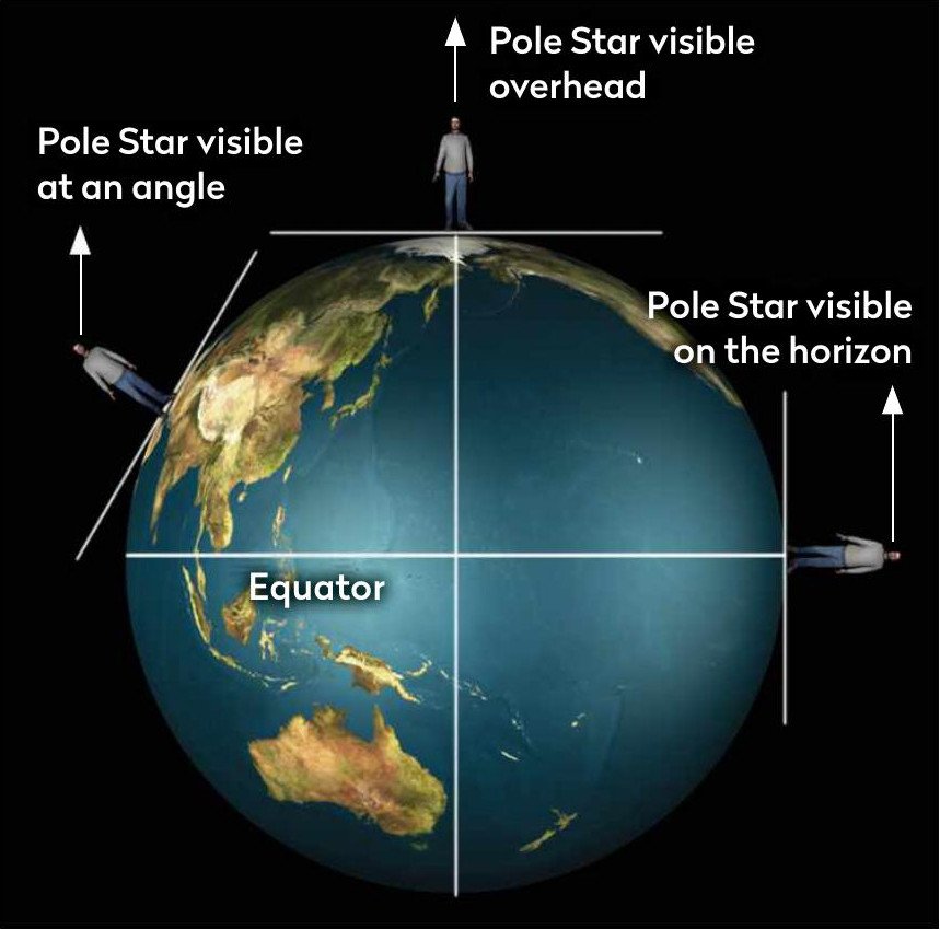
At the time, it was well known that different constellations appeared in different places – for example, the North Star is closer to the horizon in Cairo than it is in Athens. However, Aristotle was the first to suggest that because Egypt is further south, it would be looking at the star from a shallower angle if the world was a globe. Next time you take a holiday within the Northern Hemisphere, keep an eye out for the North Star and see how its position compares to back home.
Sizing up the sphere
The Greeks also noted the same effect caused the lengths of shadows to differ, depending on how far north or south you were. Several scientists used this to measure the circumference of Earth, but the earliest recorded account is by Eratosthenes in around 240 BCE. He had heard from travellers that there was a well in the town of Syene, the modern-day town of Aswan in southern Egypt, where at noon on a certain day of the year, the Sun would perfectly illuminate the water but not the well walls, showing the Sun was directly overhead.

Later, he worked at the Library of Alexandria in Egypt, located hundreds of kilometres to the north. On the same day of the year, he erected a pole and used the length of the shadow to measure the angle of the Sun as 7.2°, around 1/50th of a complete circle. This meant the distance between the two cities was 1/50th of Earth’s circumference. Fortunately, the distance had already been well measured, so he knew they were 5,000 stadia apart. The exact length of a stadia varied in the ancient world, but this puts Erastothenes’s measurement between 38,000 and 46,000km – not far from the current measured circumference around the poles of 40,008km.
Over the following centuries, knowledge of a globe-shaped Earth spread through the astronomers of Europe, India and the Arab world. However, the first direct proof that Earth was a spherical globe was in 1519, when the Magellan–Elanco expedition first circumnavigated the globe – though unless you are both extremely wealthy and an expert sailor, you might have trouble replicating that one at home.
The shape of Earth
While it’s clear our planet is spherical, its exact shape was harder to determine
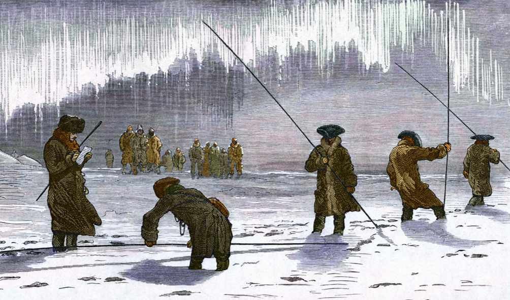
The ancient Greeks believed that circles and spheres were the perfect shapes, a belief which carried over into Old World science. It wasn’t challenged until the Enlightenment era, leading to two new theories about our planet’s shape. French philosopher René Descartes’s theories about vortices in the ether suggested Earth was shaped like an upright egg, stretched towards the poles. Meanwhile, Isaac Newton’s theory of gravity suggested Earth’s spin would make the equator bulge out, while flattening the poles.
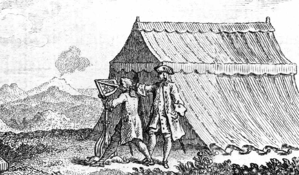
Knowing which was true would greatly increase the precision of naval navigation, so the French and Spanish governments sponsored two expeditions to solve the issue. One would head to Lapland near the Arctic circle, the other to the equator, to measure the length of one degree of latitude. If Lapland was longer, Descartes was correct; if it was the equator, then it was Newton.
In 1735, an expedition set sail for the Andes in modern-day Equador. Bad planning, extreme weather, volcanic eruptions and a leader who spent much of the team’s money buying diamonds for his mistress meant it was a decade before any crew member came home. By then, the Lapland expedition had long since returned, compared their own measurements to those taken in Paris, and proved that Newton’s idea was correct.
